
Station 45174
Wilmette Weather Buoy
Real-time data from this station is no longer available from this site.
Please visit https://data.freeboard.tech/stations for up-to-date information.
This site will remain up for historical data downloads only.
Please email everhamme@limno.com with any questions about this transition
Please visit https://data.freeboard.tech/stations for up-to-date information.
This site will remain up for historical data downloads only.
Please email everhamme@limno.com with any questions about this transition


Owned and maintained by Illinois-Indiana Sea Grant and Purdue Civil Engineering
|
Measurements in red indicate failed validity tests.
Measurements in orange indicate questionable validity tests.  Click on the graph icon, in the table below, to see a time series plot of the last five days of that observation. Click on the graph icon, in the table below, to see a time series plot of the last five days of that observation.
|
| |
Battery Voltage ( ) | 14.21 V |
| |
Buoy (ERH) ( ) | 19.58 |
 |
Wind Speed ( ) | 10.5 knots |
| |
Wind Gust Speed ( ) | 14.6 knots |
| |
Wind Direction ( ) | SSE (154.5°) |
 |
Air Temperature ( ) | 72.2 °F |
| |
Relative Humidity ( ) | 0 % |
| |
Dew Point ( ) | 0 °F |
| |
Station Air Pressure ( ) | 0 mBar |
| |
Significant Wave Height ( ) | 1.5 ft. |
| |
Dominant Period of Waves ( ) | 2.9 Sec. |
| |
Water Temperature at Surface ( ) | --- °F |
 |
Solar Radiation ( ) | 672.4 W m-2 |
| |
Wave Direction ( ) | 136 ° |
| |
Barometric Pressure ( ) | 1020.18 mBar |
| | Thermistor Temperature, depth: 3.3 ft. (TP001) | 70.1 °F |
| | Thermistor Temperature, depth: 9.8 ft. (TP002) | 69.3 °F |
| | Thermistor Temperature, depth: 16.4 ft. (TP003) | 69.9 °F |
| | Thermistor Temperature, depth: 23.0 ft. (TP004) | 69.8 °F |
| | Thermistor Temperature, depth: 29.5 ft. (TP005) | 69.5 °F |
| | Thermistor Temperature, depth: 36.1 ft. (TP006) | 58.8 °F |
 |
Maximum Wave Height ( ) | 2.38 ft. |
| 42.135 | 87.655 | Decimal Degrees [DDD.DDDDD] |
| 42 8.0999999999999 N | 87 39.3 W | Degrees, Decimal Minutes [DDD MM.MMMM] |
| 42 8 5 N | 87 39 18 W | Degrees, Minutes, Seconds [DDD MM SS] |
Station 45174
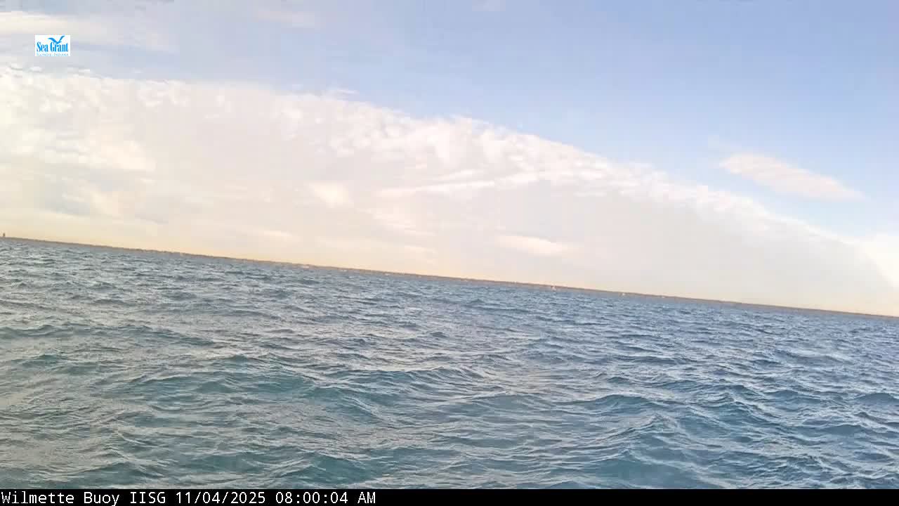
Click on image below to view webcam images and video
Thermistor Plots (Temperature Profiles)

View all thermistors on the same plot:

View all thermistors on the same plot:

Station 45174
|
|
|
|
|
|
|
|
|
|
|
|
|
|
|
|
|
|
|
|
|
|
|
|
|
|
|
|
| ||
| ID | DATE | (V) |
(knots) |
(knots) |
(°F) |
(%) |
(°F) |
(mBar) |
(ft.) |
(Sec.) |
(°F) |
(W m-2) |
(°) |
(mBar) |
(°F) |
(°F) |
(°F) |
(°F) |
(°F) |
(°F) |
(ft.) | ||||||||
|---|---|---|---|---|---|---|---|---|---|---|---|---|---|---|---|---|---|---|---|---|---|---|---|---|---|---|---|---|---|
| 183275 | 07/08/2025 10:40:00 | 14.21 | 19.58 | 10.5 | 14.6 | SSE | 72.2 | - | 0 | - | 1.5 | 2.9 | --- | 672.4 | 136 | - | - | - | - | - | 1020.18 | 70.1 | 69.3 | 69.9 | 69.8 | 69.5 | 58.8 | 2.38 | |
| 183274 | 11/01/2024 14:40:00 | 14.09 | 62.33 | 4.1 | 7.6 | E | 48.9 | 60.15 | 35.7 | - | 6.3 | 7 | 53.5 | 45.02 | 166 | - | - | - | - | - | 1025.18 | 54.5 | 54.1 | 54.6 | 54.7 | 54.5 | 54.6 | - | |
| 183273 | 11/01/2024 14:30:00 | 14.09 | 60.59 | 4.7 | 7.6 | ENE | 48.7 | 61.47 | 36.1 | - | 4.7 | 6.3 | 52.7 | 46.51 | 167 | - | - | - | - | - | 1025.25 | 53.0 | 52.6 | 53.1 | 53.2 | 53.0 | 53.0 | - | |
| 183272 | 11/01/2024 14:20:00 | 14.09 | 58.18 | 3.9 | 8.2 | NE | 46.5 | 64.28 | 35 | - | 2.5 | 5.6 | 51.3 | 224.6 | 25 | - | - | - | - | - | 1025.4 | 51.7 | 51.3 | 51.7 | 51.8 | 51.7 | 51.7 | - | |
| 183271 | 11/01/2024 14:10:00 | 14.02 | 55.8 | 4.1 | 6.3 | NNE | 45.7 | 65.28 | 35.6 | - | 2.6 | 5.6 | 51 | 456.5 | 352 | - | - | - | - | - | 1025.5 | 51.1 | 50.6 | 51.1 | 48.1 | 47.8 | 46.9 | - | |
| 183270 | 11/01/2024 14:00:00 | 14.08 | 54.51 | 4.4 | 7.1 | NNE | 45.9 | 64.2 | 34.5 | - | 2.7 | 5.8 | 50.8 | 508.6 | 23 | - | - | - | - | - | 1025.58 | 50.8 | 50.4 | 50.8 | 50.9 | 50.7 | 48.0 | - | |
| 183269 | 11/01/2024 13:40:00 | 14.07 | 53.9 | 5.1 | 8.6 | NNE | 46.6 | 64.34 | 35.2 | - | 2.6 | 5.6 | 50.7 | 580.7 | 11 | - | - | - | - | - | 1025.98 | 50.7 | 50.2 | 50.6 | 50.7 | 50.5 | 50.5 | - | |
| 183268 | 11/01/2024 13:30:00 | 14.07 | 53.83 | 4.9 | 7.8 | N | 46.1 | 61.6 | 33.7 | - | 2.5 | 5.3 | 50.6 | 586.8 | 11 | - | - | - | - | - | 1026.14 | 50.6 | 50.2 | 50.6 | 50.7 | 50.5 | 50.5 | - | |
| 183267 | 11/01/2024 13:20:00 | 14.07 | 53.83 | 5.7 | 8.6 | NNW | 46 | 63.55 | 34.3 | - | 2.6 | 5.6 | 50.6 | 598.7 | 13 | - | - | - | - | - | 1026.18 | 50.6 | 50.1 | 50.5 | 50.6 | 50.5 | 50.4 | - | |
| 183266 | 11/01/2024 13:10:00 | 14 | 54.78 | 5.6 | 8.4 | NNW | 45.9 | 61.13 | 34 | - | 2.7 | 5.7 | 50.6 | 606.2 | 11 | - | - | - | - | - | 1026.18 | 50.5 | 50.1 | 50.5 | 50.6 | 50.4 | 50.4 | - | |
| 183265 | 11/01/2024 13:00:00 | 14.07 | 53.63 | 5.4 | 8 | NNW | 45.5 | 61.74 | 33.1 | - | 2.6 | 5.8 | 50.6 | 611.4 | 18 | - | - | - | - | - | 1026.51 | 50.5 | 50.1 | 50.5 | 50.6 | 50.4 | 50.4 | - | |
| 183264 | 11/01/2024 12:40:00 | 14.07 | 53.66 | 4.9 | 8 | NW | 45.1 | 65.88 | 34.3 | - | 2.4 | 5.5 | 50.5 | 608.5 | 3 | - | - | - | - | - | 1026.58 | 50.5 | 50.0 | 50.5 | 50.6 | 50.4 | 50.4 | - | |
| 183263 | 11/01/2024 12:30:00 | 14.07 | 53.7 | 5.8 | 9 | NW | 45 | 66.61 | 34.5 | - | 2.4 | 5.4 | 50.5 | 609.4 | 10 | - | - | - | - | - | 1026.67 | 50.5 | 50.0 | 50.5 | 50.5 | 50.4 | 50.4 | - | |
| 183262 | 11/01/2024 12:20:00 | 14.07 | 53.76 | 5.9 | 9.9 | NW | 44.8 | 66.13 | 34.2 | - | 2.4 | 4.9 | 50.5 | 609.5 | 357 | - | - | - | - | - | 1026.72 | 50.5 | 50.0 | 50.4 | 50.6 | 50.4 | 50.4 | - | |
| 183261 | 11/01/2024 12:10:00 | 14 | 54.99 | 6.5 | 9.1 | NW | 44.6 | 67.73 | 35.6 | - | 2.4 | 5.1 | 50.5 | 610 | 350 | - | - | - | - | - | 1026.6 | 50.4 | 50.0 | 50.4 | 50.5 | 50.3 | 50.4 | - | |
| 183260 | 11/01/2024 12:00:00 | 14.07 | 53.97 | 6.3 | 9.1 | NW | 44.6 | 68.42 | 34.8 | - | 2.2 | 5 | 50.5 | 604.4 | 14 | - | - | - | - | - | 1026.58 | 50.4 | 50.0 | 50.4 | 50.5 | 50.3 | 50.3 | - | |
| 183259 | 11/01/2024 11:40:00 | 14.07 | 54.31 | 6.1 | 8.8 | WNW | 44.1 | 69.65 | 34.8 | - | 2.2 | 4.8 | 50.4 | 590 | 4 | - | - | - | - | - | 1026.7 | 50.4 | 50.0 | 50.4 | 50.5 | 50.3 | 50.3 | - | |
| 183258 | 11/01/2024 11:30:00 | 14.07 | 54.45 | 6.7 | 9.5 | WNW | 43.8 | 71.09 | 35.1 | - | 2.2 | 4.6 | 50.5 | 577.5 | 353 | - | - | - | - | - | 1026.52 | 50.4 | 50.0 | 50.4 | 50.5 | 50.4 | 50.4 | - | |
| 183257 | 11/01/2024 11:20:00 | 14.07 | 54.52 | 7.5 | 11.2 | WNW | 43.5 | 73.72 | 35.7 | - | 2.2 | 4.3 | 50.4 | 578.1 | 2 | - | - | - | - | - | 1026.33 | 50.4 | 50.0 | 50.4 | 50.5 | 50.4 | 50.4 | - | |
| 183256 | 11/01/2024 11:10:00 | 14 | 55.74 | 7.6 | 10.5 | WNW | 43.2 | 74.23 | 36.3 | - | 2.2 | 4.3 | 50.4 | 567.2 | 359 | - | - | - | - | - | 1026.38 | 50.4 | 50.0 | 50.4 | 50.5 | 50.4 | 50.4 | - | |
| 183255 | 11/01/2024 11:00:00 | 14.07 | 54.72 | 7.2 | 11.1 | WNW | 42.9 | 74.59 | 35.4 | - | 2.3 | 4.3 | 50.4 | 549.8 | 5 | - | - | - | - | - | 1026.4 | 50.4 | 50.0 | 50.4 | 50.5 | 50.3 | 50.3 | - | |
| 183254 | 11/01/2024 10:40:00 | 14.06 | 55.13 | 7.9 | 11.4 | WNW | 42.8 | 77.39 | 36.2 | - | 2.4 | 4.6 | 50.4 | 528.2 | 354 | - | - | - | - | - | 1026.07 | 50.4 | 49.9 | 50.4 | 50.5 | 50.3 | 50.4 | - | |
| 183253 | 11/01/2024 10:30:00 | 14.06 | 55.27 | 7.8 | 11.4 | WNW | 42.4 | 77.97 | 36.1 | - | 2.5 | 4.7 | 50.4 | 512.8 | 350 | - | - | - | - | - | 1025.74 | 50.3 | 49.9 | 50.4 | 50.5 | 50.3 | 50.4 | - | |
| 183252 | 11/01/2024 10:20:00 | 14.06 | 55.54 | 9 | 12.6 | W | 42 | 78.07 | 35.7 | - | 2.6 | 4.5 | 50.4 | 503.7 | --- | - | - | - | - | - | 1025.7 | 50.4 | 49.9 | 50.4 | 50.5 | 50.3 | 50.3 | - | |
| 183251 | 11/01/2024 10:10:00 | 13.99 | 56.84 | 9.4 | 13 | W | 42 | 78.14 | 36.5 | - | 2.6 | 4.5 | 50.4 | 480.1 | 10 | - | - | - | - | - | 1025.68 | 50.4 | 49.9 | 50.4 | 50.5 | 50.3 | 50.3 | - | |
| 183250 | 11/01/2024 10:00:00 | 14.07 | 56.02 | 9.6 | 12.6 | W | 42.4 | 77.94 | 36 | - | 2.6 | 4.8 | 50.4 | 466.9 | 351 | - | - | - | - | - | 1025.53 | 50.4 | 49.9 | 50.4 | 50.5 | 50.4 | 50.4 | - | |
| 183249 | 11/01/2024 09:40:00 | 13.92 | 56.71 | 10.5 | 14.3 | W | 41.8 | 78.89 | 35.8 | - | 2.8 | 5.1 | 50.4 | 429.5 | 337 | - | - | - | - | - | 1025.32 | 50.3 | 49.9 | 50.3 | 50.5 | 50.3 | 50.3 | - | |
| 183248 | 11/01/2024 09:20:00 | 13.79 | 57.67 | 11.9 | 16 | W | 42.1 | 80.76 | 36.6 | - | 2.8 | 5.1 | 50.4 | 354.9 | --- | - | - | - | - | - | 1024.91 | 50.3 | 49.9 | 50.3 | 50.4 | 50.3 | 50.3 | - | |
| 183247 | 11/01/2024 09:10:00 | 13.65 | 59.3 | 12.3 | 16.4 | W | 42.1 | 79.11 | 37.2 | - | 2.9 | 5.1 | 50.3 | 369.5 | 360 | - | - | - | - | - | 1024.81 | 50.3 | 49.9 | 50.3 | 50.4 | 50.3 | 50.3 | - | |
| 183246 | 11/01/2024 09:00:00 | 13.77 | 58.76 | 12.5 | 15.6 | W | 42.2 | 79.58 | 36.4 | - | 3 | 5 | 50.3 | 335.7 | 349 | - | - | - | - | - | 1024.59 | 50.3 | 49.9 | 50.3 | 50.4 | 50.3 | 50.3 | - |
Download data here
Great Lakes Research Center
1400 Townsend Drive
Houghton, MI, 49931
Page last modified: August 9, 2017